The territory is an open source. Let's write it together.
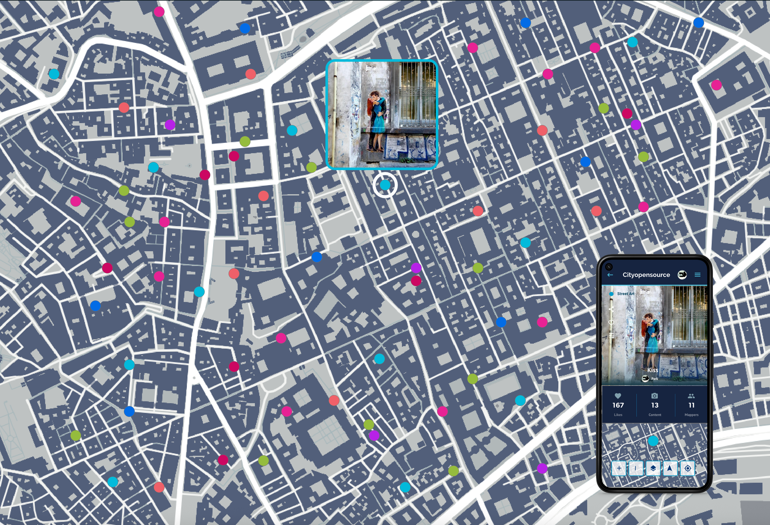
The world isn't just made up of roads and coordinates, but of stories, people, relationships, images and imagination. Cityopensource is the collaborative mapping platform that considers the territory "open source": a living space that anyone can read, write, and reinterpret. We are not just spectators of the places we inhabit. With Cityopensource, citizens, associations, institutions, and researchers become co-authors of their environment, combining the precision of geographic data with the power of collective storytelling.
Why Collaborative Mapping?
Develops participatory processes and digital technologies to connect stories, multimedia content, and data directly to places, transforming narratives into open, dynamic, and collaborative maps.
Community Building
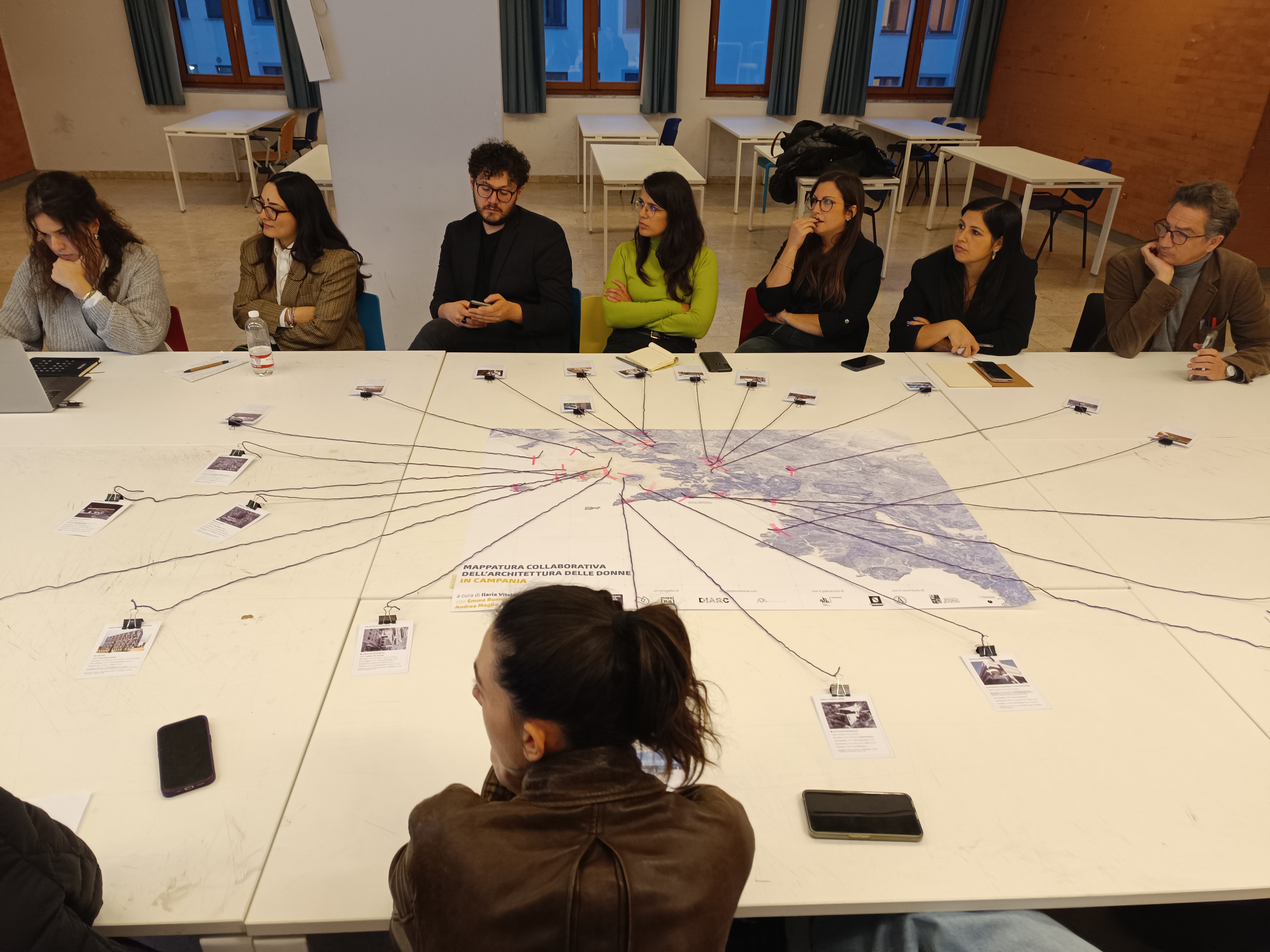
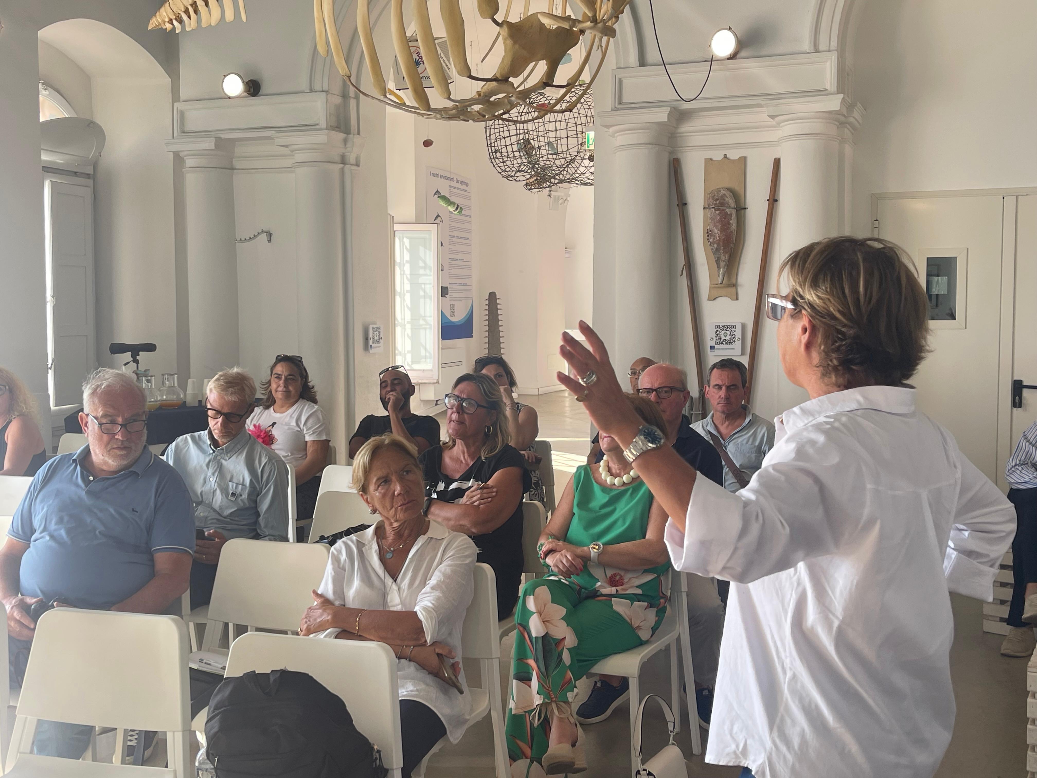
Involving inhabitants, both permanent and temporary, in the narrative of the territory or civic monitoring, transforming them into active protagonists.
Knowledge sharing
Generate digital commos and share knowledge and experience to support the development of new solutions by researchers, companies, and citizens.
Who uses Cityopensource?
From NGOs and local businesses to national governments, our platform is modular and customizable, adapting to customer needs.
Administrations & Research
Participatory processes, use of open data and shared digital resources to fuel democratic processes, share knowledge and increase the effectiveness of decision-making processes.
Museums & Culture
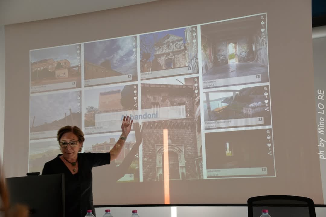
Involve new audiences through innovative storytelling tools and qualitative territorial analysis.
Non-profits & Groups
Activate urban regeneration projects and festivals that encourage the public to tell their story.
Startups & SMEs
Launch community-based tourism products quickly with ready-to-use digital solutions.

Our Services
Build Dynamic Communities Through Territory Narrative
We co-design the architecture of shared experiences, our modular architecture adapts to your specific project needs.
Our Platform. Ready to Go
Powerful Resources for Map Design
Everything you need to manage your community, customize your experience, and analyze the data that matters.
Application
Web & App mobile
You will have a dashboard, from which you can manage the services you will offer, and a mobile app, from which people will be able to map and access all the features you have chosen for them.
Design
Map Design
Customize logos, colors, map styles and the category you use to describe your territory.
Managment
User Roles e content licenses
Define administrators, editors, and mappers. Manage content policies and copyright (CCby/Copyright).
Content
Multimedia Mapping
Embed video, audio, text, QR codes, calendars, custom checkboxes, and more into any location. Track detailed itineraries and routes.
Interactivity
Geo-Notifications & Game
Reach users with push notifications when they're near points of interest or events. Enable gamification with digital treasure hunts.
Intelligence
Data Analytics
Monitor flows, and community activity to make data-driven decisions about your territory.
Data
Digital Commons
Import/Export datasets seamlessly and reuse existing digital commons on the platform, generate open data.
Interoperability
API First
Integrate your mapping data directlyIntegrate your mapping data directly into existing apps or web platforms via our powerful API suite.into existing apps or web platforms via our powerful API suite.
Contents
Routes
Track routes, describe locations, and follow existing itineraries. Reach destinations with real-time navigation guides.
Involvement
Sharing & Embedding
Share content on social media and via email, add the map to your website with simple embed code.
Interoperability
Enabling Technologies
View content in augmented reality, transform your voice into text using artificial intelligence
Data
Insights
Data on the project, content, likes, tracked routes and activities.